New SwellMap and WeatherMap have gone live!
After 15 years of service to the recreational sector, the websites have finally been revamped with new and improved features and modelling.


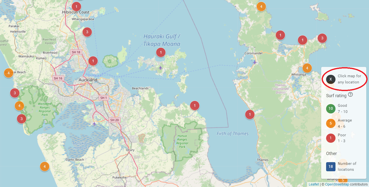
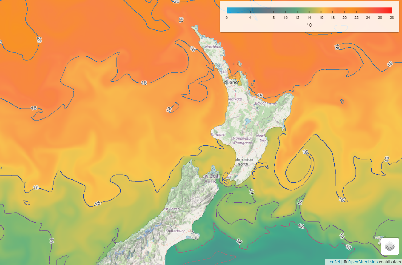
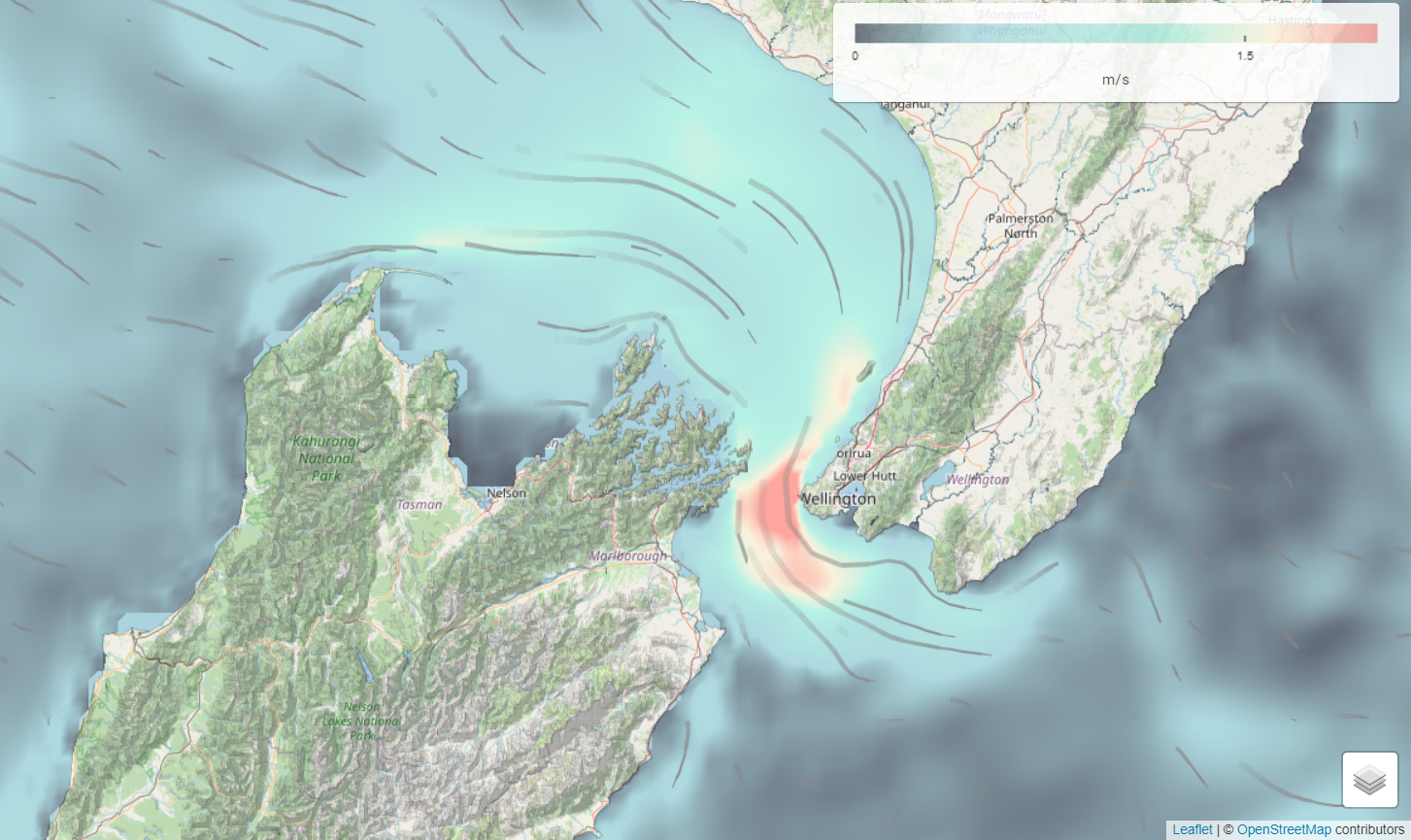
We’ve leveraged the research project we are undertaking (I.e., the Moana Project) to provide new and improved capabilities, including improved ocean current and temperature forecasts at different layers within the ocean and the technology used to display these data in the form of data tiles. These tiles allow you to click anywhere in the world, over both the land and the ocean and get the latest forecast guidance for that specific spot – allowing the user to get the forecast guidance for exactly where they want, not where they are told they can have. More functions and features are expected to be rolled out in the next 1-2 months.
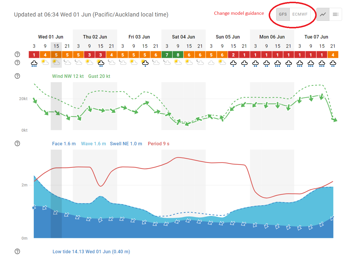
In addition, we’re now supplying multiple model guidance, including the Global Forecast System (GFS) and the European Centre for Medium-Range Weather Forecasts (ECMWF). As well as leveraging the atmospheric forecast modelling being undertaken by MetService to provide high-resolution atmospheric modelling from around New Zealand (down to 300 m resolution in some areas).
Besides the improved oceanic current and 3D temperature forecasts, we are now providing real time Rain Radar data over New Zealand, global cloud cover forecasts, and open access to oceanic Chlorophyll-a, which other suppliers provide as a premium service.
“The latest SwellMap update provides an accessible, high-quality interface to see ocean forecasts developed with data from the Moana Project. Data collected from the Mangōpare sensor programme feeds into the ocean temperature forecast, helping improve the forecasts,” explains Moana Project Science Lead Dr. Joao de Souza.
SwellMap and WeatherMap provides a forecasted rating system to be used as a guide of the conditions for the user chosen activity.
Check it out www.swellmap.com and www.weathermap.co.nz
