Maritime Industry
Vessel routing and marine forecast guidance.
MetOceanView web-based tools allow vessel operators and fleet managers to access weather data along the route, and update vessel position and speed.
We offer select route optimisation based on weather avoidance, fuel efficiency or arrival time. We provide specialist guidance including fatigue and motion forecasting, specifically for your vessel. Our route forecasting saves you time and fuel, enhances navigational safety, and reduces fatigue and carbon emissions.
Marine forecast guidance:
Hindcast Statistics
Our sophisticated marine weather hindcasts reach back to 1979.
Vessel Motion
Onsite vessel motion forecasts or extreme motion and fatigue analyses during passages.
Route Forecasting
The exact location and planned route of the vessel are used to calculate forecast conditions along its path.
Forensic Analysis
Accurate and localised analysis to help you save time and fuel, enhance navigational safety, and reduce fatigue and carbon emissions.
Solutions for vessel routing and marine forecast guidance.
Marine route analysis
MetOcean Solutions offer select route optimisation based on weather avoidance, fuel efficiency or arrival time. Upon request, we can also provide specialist guidance including fatigue and motion, forecasting specifically for your vessel. Accurate and localised route forecasting helps you save time and fuel, enhance navigational safety, and reduce fatigue and carbon emissions.
On site forecast
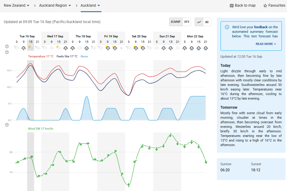
Through MetOceanView, high resolution on-site marine weather forecasts are provided for any location on the planet. MetOcean Solutions’ in-house models run by experienced scientists offer 7-day ahead information at local scale
Customised forecasts for your intended route
Using our high resolution ocean and atmospheric models, we provide accurate route forecasting for any location on Earth. Updated every six hours, forecasts are delivered through a web application within the MetOceanView platform, or by email. The exact location and planned route of the vessel are used to calculate forecast conditions along its path.
Historical statistics
Detailed historical statistics for any ocean route are available via MetOceanView. Our sophisticated marine weather hindcasts reach back to 1979. Data is post processed which allows the generation of wave height and wind speed statistics instantly for any route.
Vessel motion
For heavy lift operations, FPSOs, sensitive cargoes and tows we offer onsite vessel motion forecasts or extreme motion and fatigue analyses during passages.
Specialist services
Bespoke solutions designed by our experienced scientists to help solve your specific challenges.
Try MetOceanView
Reliable marine weather information for anywhere on Earth - exactly where you need it.
MetOcean Solutions' in-house state-of-the-art oceanographic and atmospheric forecast models provide detailed, reliable weather information for anywhere. Through our MetOceanView customer portal, we offer hourly forecast data to 7 days ahead plus long range guidance with customised data resolution. Our web-based tools allow vessel operators and fleet managers to access weather data along the route, and update vessel position and speed.


