Coastal Management
Specialist services to support sustainable management of coastal, estuarine & ocean environments.
MetOcean Solution’s employs specialist numerical tools and GIS systems to understand the wave, wind, tidal, sediment, morphology and hydrological dynamics of specific coastal environments.
Our targeted and process-based studies support government, environmental agencies and developers by providing coastal marine forecasts, environmental data, hydrodynamics and sediment dynamics.
Our science team provides:
Coastal Marine Forecasts
A coastal hazard system to warn of impending storm surge and hazardous conditions.
Environmental Data
Detailed assessment of local wave, wind, tides and currents.
Hydrodynamics
Sediment Transport
Advanced particle tracking tools for understanding dispersal and plume dynamics.
Assessment of coastal sediment dynamics and erosion.
Coastal management services
Historical ocean weather data
Data from state-of-the-art numerical hindcasting techniques are used to prepare high quality environment data for specific coastal sites, as well as broad geographic areas. With validation from local measurements (when available), data sets ranging back to 1979 are available for any location worldwide.
Metocean site reports
Metocean data for specific sites provide a detailed assessment of the oceanographic and meteorological conditions at the exact location of interest. Based on high quality hindcast information reaching back to 1979, a rigorous analysis of the waves, winds and 3D currents is supplied for guidance in projects such as dredging, coastal development, erosion or scientific research
Sediment transport studies
Sediment transport studies can be carried out for any coastal location, using numerical models to replicate the dominant physical processes. Our scientists have extensive experience developing practical, cost effective sediment management programs for ports and harbours, regional councils, governments and environmental agencies.
Hydrodynamic modelling studies
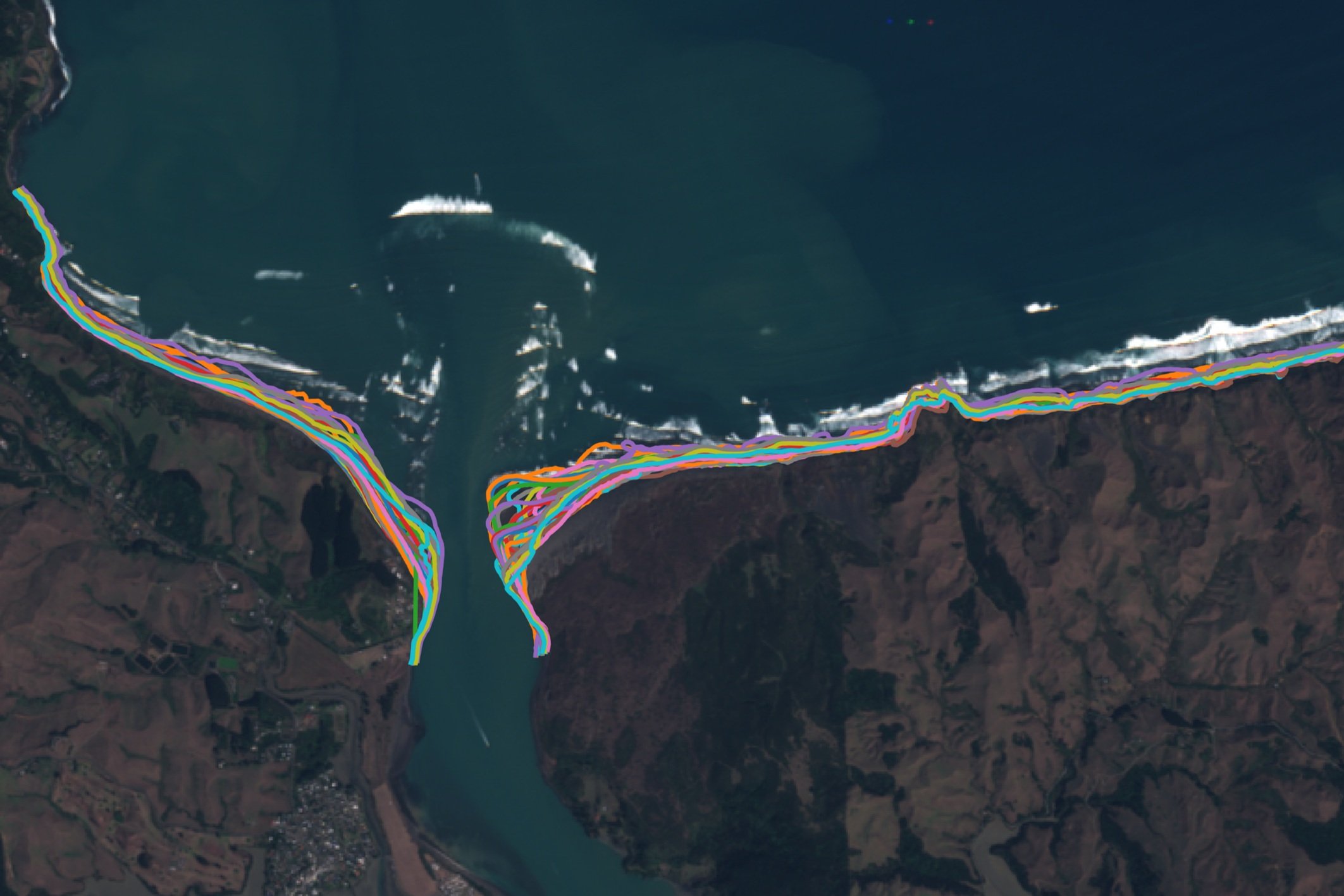
Numerical modelling can be used to examine 2D and 3D hydrodynamics of offshore, coastal and estuarine environments. We have developed advanced particle tracking tools that operate with hindcast flow fields, allowing dispersal and plume dynamics to be rapidly generated. These tools are used to simulate the dispersal of: suspended sediments, waste water outfall (including microbial dieoff), fluvial discharges and invasive spread of organisms by passive advection.
Coastal hazard weather forecasts
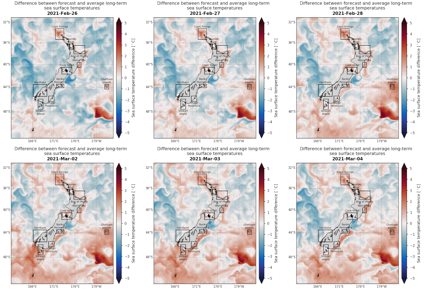
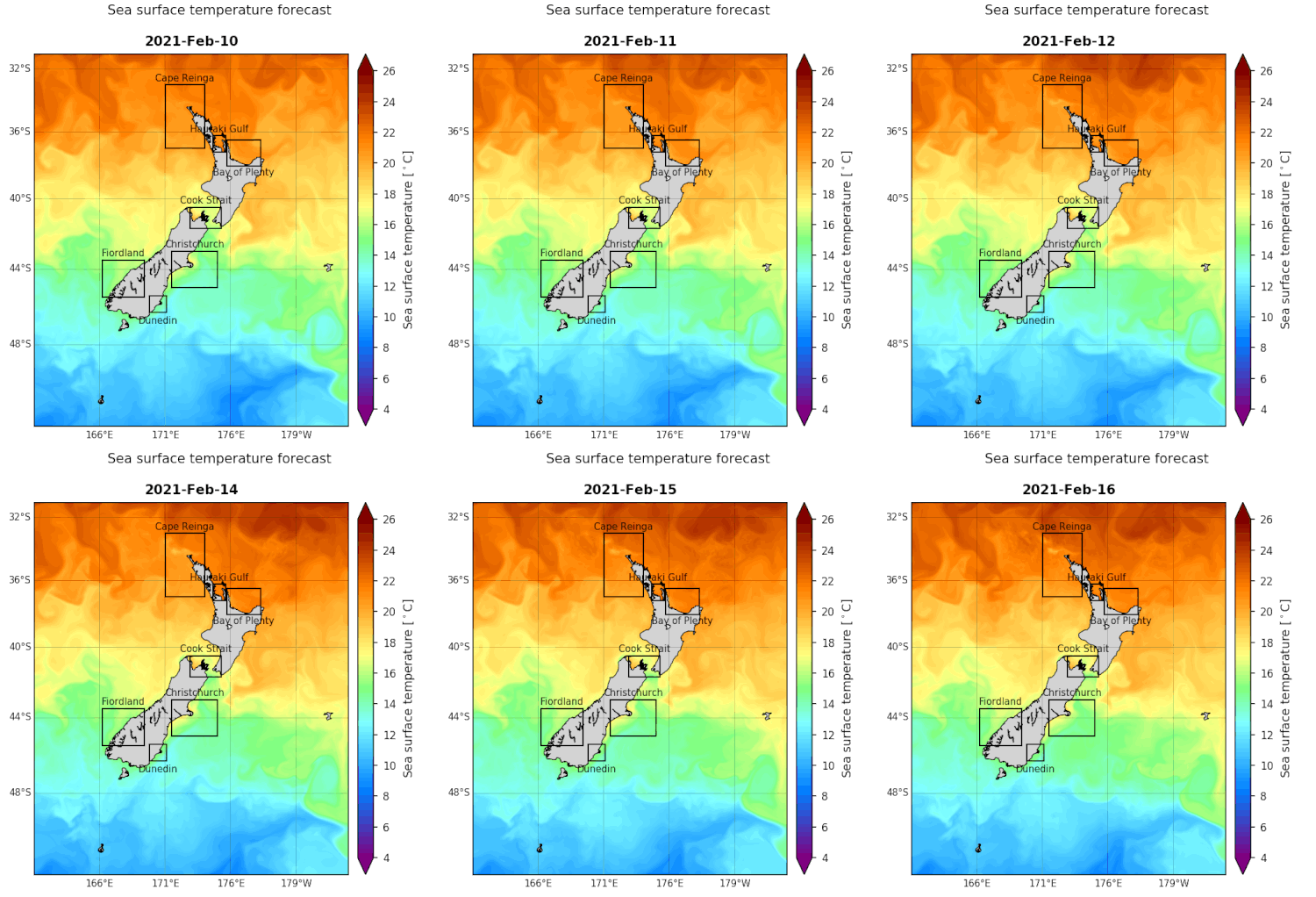
Hazard forecasts are delivered via the MetOceanView web platform, plus automated emails. The system provides site-specific guidance, along with comprehensive forecast maps and charts. High resolution customised forecasting domains are used to predict the onset of potential hazardous situations due to waves, winds, tides, storm surge and coastal currents – with user-defined thresholds.


